Earth observation data has gone well beyond the expectation to make our rescue activities more effective
Valentina Nocente - Engineer Officer
Rome, Italy
Satellite data improves our understanding of emergency situations and helps us to identify the most critical areas, especially in the case of natural disasters like floods, earthquakes or forest fires. For us, the best way to face emergencies is to join forces. In recent years we have started an interesting collaboration with the Italian space agency and we have signed an agreement to access the satellite data of a specific area affected by catastrophic events.
Interview

My name is Valentina Nocente. I am an environmental engineer serving as an officer in the National Fire and Rescue Service of the Italian Ministry of Interior. I work for the central directorate of emergency services, whose top three priorities are to prepare, coordinate and support the operational response to disasters in Italy.
Sustainability aims to create thriving, healthy, diverse and resilient communities for this generation and generations to come. Our main tasks are concerned with fire suppression, technical rescue and hazardous material medication. This service is provided to protect the general public and the environment during any type of emergency. I think, this is a great contribution to sustainability.
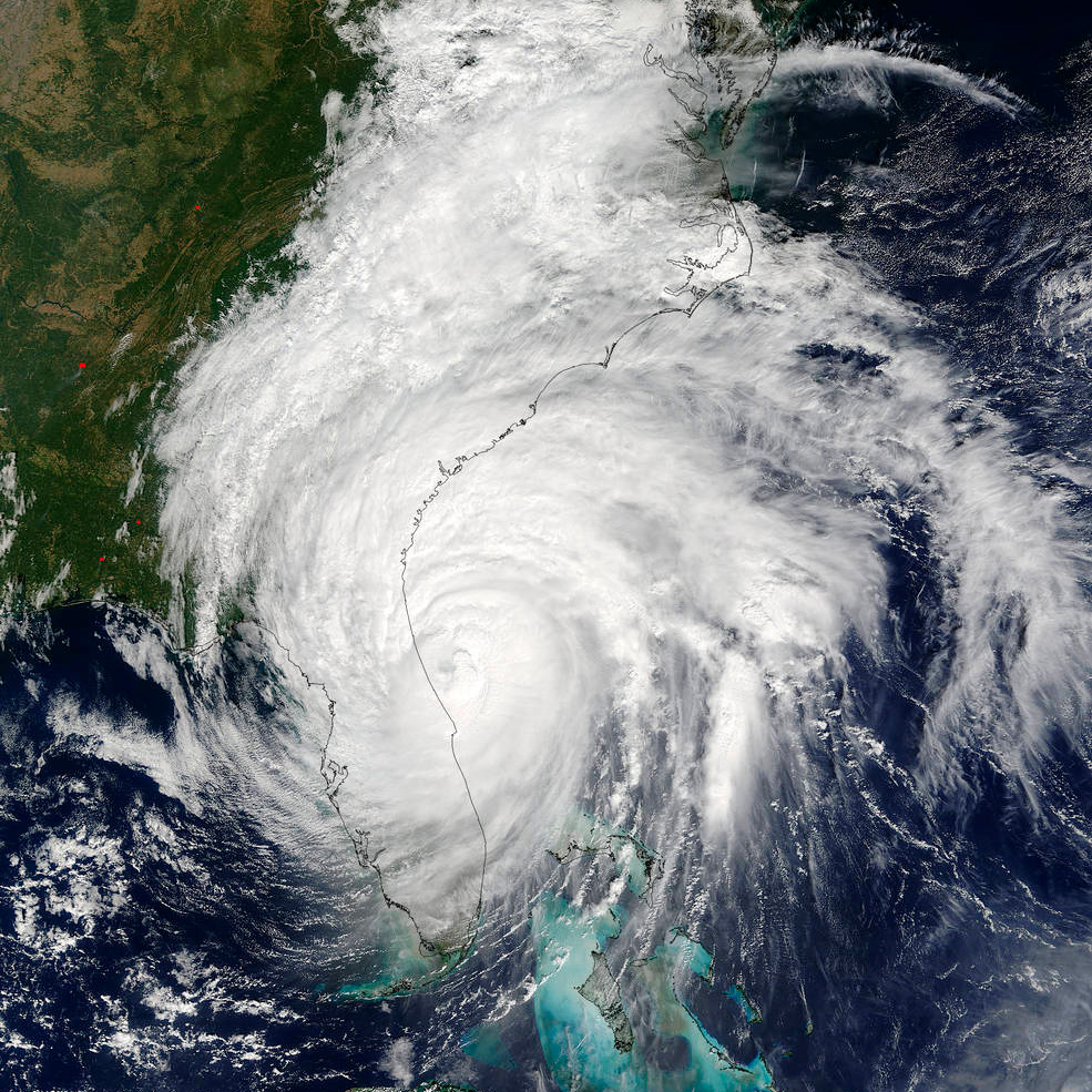
I think the use of Earth observation data from satellites has gone well beyond the expectation to make our rescue activities more effective. Such data improves our understanding of emergency situations and helps us to identify the most critical areas, especially in the case of natural disasters like floods, earthquakes or forest fires.
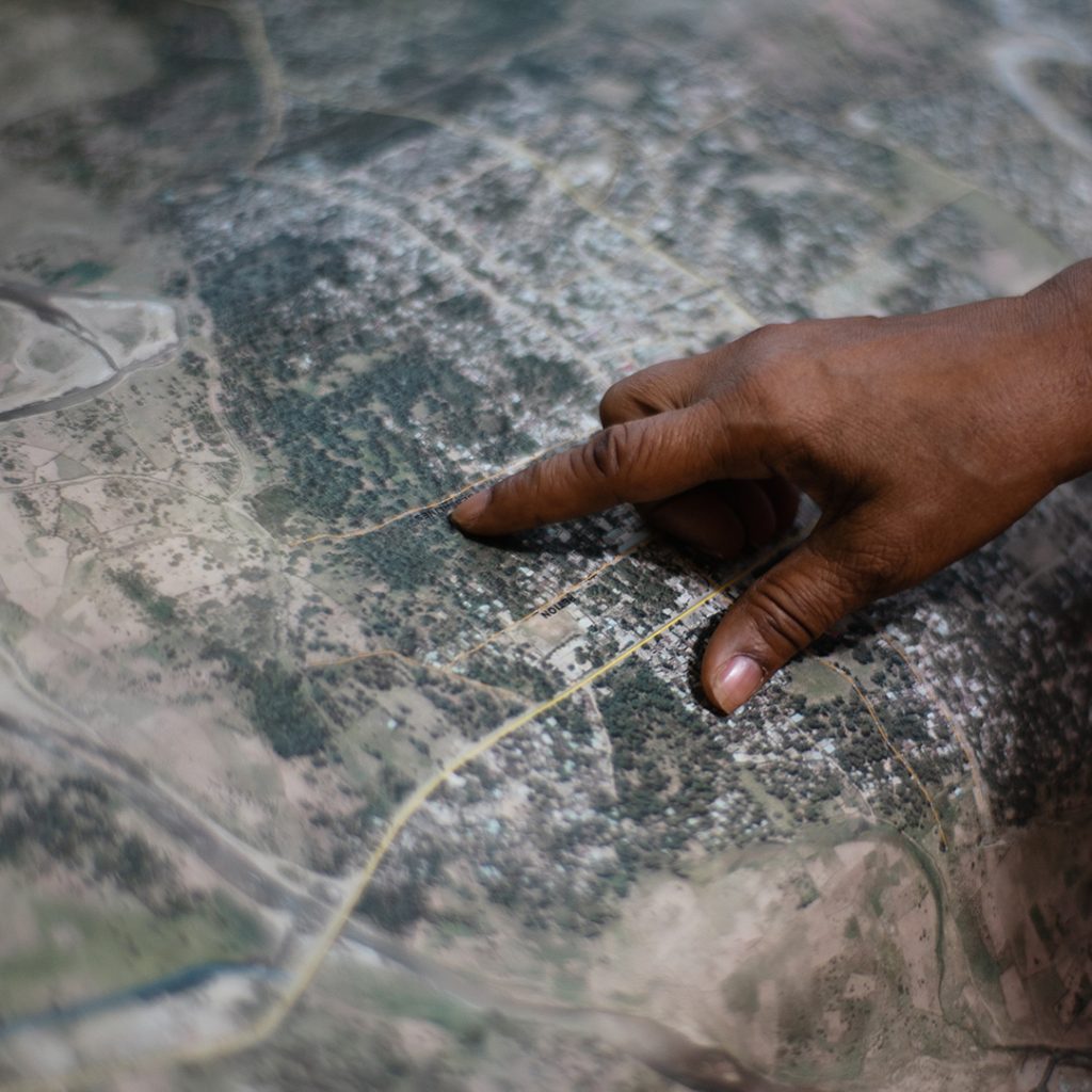
During the flood in Emilia-Romagna region last year we used Cosmos-SkyMed products to digitally map the flooded area and thus inform our rescue teams on the ground about the location of people affected by the flooding , the safe roads to reach them, etc. Moreover, last summer we had many forest fires and we used images from European Union’s satellite Sentinel 2 to track the fire fronts.
For us, the best way to face emergencies is to join forces. We always collaborate with the Italian Civil protection department in every emergency, but depending on the emergency, we may cooperate with other public agencies and research institutions. In recent years we have started an interesting collaboration with the Italian space agency and we have signed an agreement to access the satellite data of a specific area affected by catastrophic events.
Strengthen the means of implementation and revitalize the global partnership for sustainable development
Check out more